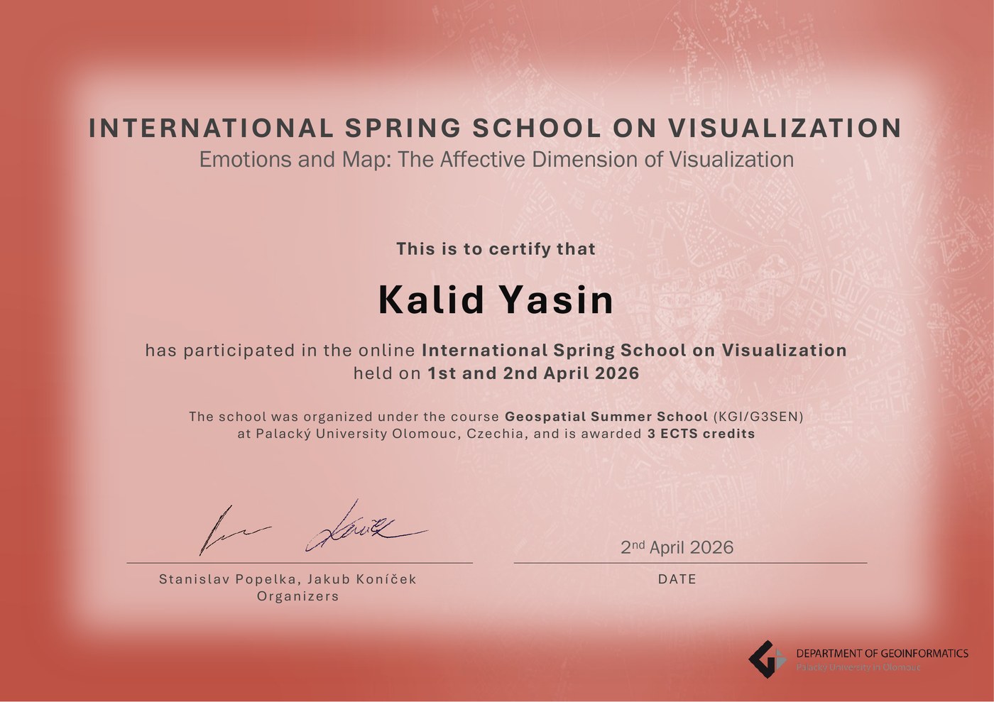
Initializing Digital Earth...

EMJM Copernicus Digital Earth Scholar 2025-2027

Hello, I'm Kalid Hassen Yasin

Geospatial Data Scientist |

Transforming satellite imagery into actionable insights. Bridging Earth observation and machine learning to solve environmental challenges.

0 Publications
0 Peer Reviews
0 Certificates
0 Years Experience
Kalid Hassen Yasin
Remote Sensing
Machine Learning
GIS Expert
Scroll Down

About Me

Passionate about using geospatial technology to understand and protect our planet

Kalid Hassen Yasin
Geo-Vis Track
EU Scholar

Geospatial Data Scientist & Remote Sensing Specialist

I am a dedicated researcher and educator passionate about leveraging Earth observation technologies to address environmental challenges. Currently pursuing the prestigious Erasmus Mundus Joint Master's in Copernicus Digital Earth at the University of Salzburg, Austria.

With a strong foundation in GIS, remote sensing, and machine learning, I specialize in environmental modeling, species distribution analysis, and climate impact assessment. My research has been published in leading journals including Nature Scientific Reports, Journal of Environmental Management, and Journal of Hydrology.

Research Focus

Environmental modeling & ML

Academic Role

Lecturer at Haramaya University

Location

Austria (from Ethiopia)

Nationality

Ethiopian

My Education

A journey of continuous learning across three continents

Currently Enrolled
CDE PLUS UPOL

MSc Copernicus Digital Earth (Geo-Vis)

Erasmus Mundus Joint Master's Programme

2025 - 2027 Full EMJM+ Scholarship

Year 1: University of Salzburg, Austria • Year 2: Palacký University Olomouc, Czech Republic

Explore CDE Journey →
Completed
UoPeople

ASc Computer Science

University of the People, USA (Online)

2023 - 2025 GPA: 3.25

Building strong programming foundations in Python, Java, R, and software engineering.

Completed
SSGI AAU

MSc Remote Sensing

Ethiopian Space Science & Geospatial Institute, AAU

2022 - 2024 GPA: 3.93 / 4.0

Thesis: "Characterizing and Modelling of The Spatiotemporal Trends of Rangelands as a Response to Prosopis Juliflora: A Case Study of the Middle Awash Basin, Ethiopia"

Completed
Haramaya

BSc Geo-Information Science

Haramaya University, Ethiopia

2017 - 2021 GPA: 3.68 / 4.0

Graduated with Great Distinction. Foundation in GIS, cartography, and spatial analysis.

🛰️

🛰️ CDE Journey

Erasmus Mundus Joint Master in Copernicus Digital Earth

CDE Programme

Europe's Premier Digital Earth Programme

The EMJM Copernicus Digital Earth is a prestigious EU-funded programme that trains experts in Earth observation, geoinformatics, and the Copernicus programme - Europe's flagship satellite monitoring system. Selected from thousands of applicants worldwide, I am honored to be part of this transformative educational journey.

My Study Pathway

PLUS
Year 1 (Current)

University of Salzburg

Austria (PLUS)

✈️
UPOL
Year 2 (2026)

Palacký University Olomouc

Czech Republic (UPOL)

Winter Semester 2025/26 Courses

Core Module

Copernicus in Digital Earth (EO*GI)

EU Earth observation system fundamentals

Core Module

Spatial Thinking & Modelling

Geospatial analysis frameworks

Core Module

Systems Thinking in Spatial Representations

Complex systems & spatial data

Specialization

Advanced Remote Sensing

Advanced EO techniques & analysis

Specialization

Cartographic Design & Geomedia

Visual communication of spatial data

Specialization

Advanced Cartography

Modern cartographic methods

Technical

Practice: Software Development

Geospatial programming skills

Technical

Digital Earth: Big Earth Data

Large-scale geospatial data processing

Technical

Object-Based Image Analysis

OBIA techniques & applications

Professional

Career Development & ePortfolio

Professional skills & portfolio building

Orientation

PLUSorientiert

University orientation programme

Intensive Programme

Blended Intensive Programme II (BIP)

Olomouc, Czech Republic

EU Funded

Full Erasmus Mundus Scholarship

Global Cohort

Students from 20+ countries

Dual Degree

Two prestigious universities

Copernicus

EU's Earth observation flagship

Skills & Technologies

Technical proficiencies built over years of research and practice

GIS & Remote Sensing

ArcGIS Pro95%
QGIS95%
Google Earth Engine90%
ERDAS IMAGINE85%

Programming

Python90%
R Programming85%
JavaScript75%
SQL80%

Machine Learning

Random Forest / XGBoost90%
Deep Learning75%
Species Distribution Models90%

Tech Stack

Python
R
JavaScript
PostgreSQL
GEE
ArcGIS
QGIS
ERDAS

My Publications

Peer-reviewed research in leading international journals

15+ Publications
40+ Peer Reviews
10+ Journals
2025 J. Hydrology: Regional Studies

Advanced Geospatial and Machine Learning Models Identify Groundwater Potential and Reveal Storage Dynamics in Ethiopia's Abbay River Basin

Yasin, K.H., Gelete, T.B., Kebede, E., Iguala, A.D., Abdo, M.Y.

MLHydrologyGIS
2025 Scientific Reports (Nature)

Machine Learning Predictions of Climate Change Effects on Nearly Threatened Bird Species (Crithagra xantholaema) Habitat in Ethiopia for Conservation Strategies

Gelete, T.B., Tulu, D., Yasin, K.H., et al.

SDMConservationClimate
2025 MethodsX

Methodological Integration of Machine Learning and Geospatial Analysis for PM10 Pollution Mapping

Yasin, K.H., Yasin, M.I., Iguala, A.D., Gelete, T.B., Kebede, E.

Air QualityML
2025 Discover Applied Sciences

Predictive Machine Learning and Geospatial Modeling Reveal PM10 Hotspots and Guide Targeted Air Pollution Interventions in Addis Ababa, Ethiopia

Yasin, K.H., Yasin, M.I., Iguala, A.D., Gelete, T.B., Tulu, D., Kebede, E.

Air QualityUrban
2025 Discover Sustainability

Spatiotemporal Analysis of Urban Expansion and Its Impact on Farmlands in the Central Ethiopia Metropolitan Area

Yasin, K.H., Iguala, A.D., Gelete, T.B.

UrbanChange Detection
2024 J. Environmental Management

Characterizing and Modeling Spatiotemporal Trends in Rangelands: Prosopis juliflora Impact in Middle Awash Basin, Ethiopia

Yasin, K.H.

Invasive SpeciesSDM
2024 Frontiers in Environmental Science

Integrated Machine Learning and Geospatial Analysis Enhanced Gully Erosion Susceptibility Modeling in the Erer Watershed in Eastern Ethiopia

Gelete, T.B., Pasala, P., Abay, N.G., Woldemariam, G.W., Yasin, K.H., et al.

ErosionML
2024 MethodsX

Optimal Interpolation Approach for Groundwater Depth Estimation

Yasin, K.H., Gelete, T.B., Iguala, A.D., Kebede, E.

HydrologyMethods
2024 Springer Geography

Soil Erosion Risk Assessment—A Key to Conservation Planning in the Ethiopian Highland in East Hararghe

Woldemariam, G.W., Awoke, B.G., Yasin, K.H.

ErosionConservation
2023 KN - J. Cartography & Geographic Information

Abattoir Site Suitability Modeling Using GIS and Multi-Criteria Evaluation – A Case Study of Dire Dawa City, Ethiopia

Yasin, K.H., Weldemariam, E.C., Woldemariam, G.W., et al.

GISMCDA
2023 Heliyon

GIS-Based Ecotourism Potentiality Mapping in the East Hararghe Zone, Ethiopia

Yasin, K.H., Woldemariam, G.W.

EcotourismGIS
2023 Geosciences

Water Erosion Risk Assessment for Conservation Planning in the East Hararghe Zone, Ethiopia

Woldemariam, G.W., Yasin, K.H., Iguala, A.D.

ErosionConservation

Work Experience

Professional journey in academia and industry

Lecturer & Researcher

Haramaya University
March 2021 - Present

Teaching GIS, remote sensing, and geodesy courses. Conducting research in environmental modeling. Supervising undergraduate thesis projects.

TeachingResearchGIS

Technical Consultant

Oromia Chamber of Commerce
Aug 2024 - Feb 2025

GIS consulting for economic development initiatives. Spatial analysis for regional planning and investment mapping.

ConsultingSpatial Analysis

GIS Consultant

Haramaya Town Land Administration
Oct 2021 - Jul 2022

Urban cadastral mapping projects. Digital land registration systems and spatial databases for property management.

CadastralLand Admin

International Projects

Competitively funded research initiatives

Conferences & Workshops

Presentations, seminars, and professional development

Presentations & Conferences

Dec 2025

Second Pan African Conference

Tlemcen, Algeria

Nov 2024

First Pan African University International Conference

University of Ibadan, Nigeria

Jun 2024

Annual Conference of Space Science & Geospatial Institute

Addis Ababa, Ethiopia

Jun 2024

Planetary, Astronomy, Magnetism & Space Weather Conference

Addis Ababa, Ethiopia

Seminars & Workshops

Seminar

"It's Time to Assign Nonforested, Nonagricultural Lands a Global Designation"

Cambridge Prisms

Workshop

Promoting Equity and Social Justice in Online Work Environments

University of the People

Workshop

National & In-house Curriculum Review

Haramaya University

Instructor

Ethio Space Kids Club Summer Camp

Aug–Sep 2023

Certificates & Training

Continuous professional development through MOOCs and workshops

UAVs in Precision Agriculture

Geoversity & ITC

2025

Exploration of Copernicus and Sentinel Data

Geoversity & ITC

2025

High-resolution Crop Monitoring for Food Security Using EO

EO AFRICA R&D Facility

2025

Drought Assessment and Monitoring from Space v3

EO AFRICA & ITC

2025

Introduction to Remote Sensing

Geo University

2025

Remote Sensing & Satellite Image Processing (EOS Platform)

Geo University

2025

Coordinate Reference Systems, Projections & Spatial Data

Geo University

2025

Learn the FOSS4G Stack: QGIS 3 Desktop

Geo University

2025

Hyperspectral Thermal Image Unmixing

Geo University

2025

Digital Image Processing with OpenCV in Python

Geo University

2025

Machine Learning for Data Science and Analytics

ColumbiaX / edX

2022

Python Basics for Data Science

IBM / edX

2022

AI for Everyone

IBM / edX

2022

Data Science: Visualization

HarvardX / edX

2022

Essential Linear Algebra for Data Science

CU Boulder / Coursera

2023

Data Science in R

Udemy

2024

Remote Sensing, QGIS and Data Import

ALISON

2022

Geospatial Analysis in Urban Planning

ALISON

2022

Introduction to Water and Climate

DelftX / edX

2022

CitiesX: The Past, Present and Future of Urban Life

HarvardX / edX

2022

Java Programming for Beginners

Udemy

2024

Showing 21 of 30+ certificates from Geoversity, ITC, EO AFRICA, Coursera, edX, Udemy, ALISON, and more

Volunteer Work

Giving back through professional expertise

Urban Planning Support

Furii Sub-City Plan and Development Office, Sheger City

Jun – Nov 2024

Provided GIS and spatial planning expertise to support urban development initiatives in the growing Sheger City metropolitan area.

Cadastral Mapping & Surveying

Sebeta City Municipality

Jun – Aug 2019

Volunteered surveying and GIS mapping skills to support municipal land administration and urban cadastral development.

Contact Me

Let's discuss research collaboration, consulting, or opportunities

Email

kalid.yasin@stud.plus.ac.at

kalidh84@gmail.com

Phone

Whatsapp: +251 923 328 893

+4367763480369

Location

Salzburg, Austria

(Originally from Ethiopia)